Some maps and data of archaeological sites in Slemani province
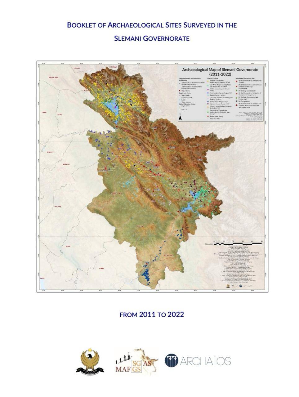
Some maps and data of archaeological sites in Slemani province


240228010746.jpg)
Training course on photogrammetry program was held from 18/2/2024 to 23/2/2024 in Slemani. The course was taught by archaeologist Tiago Costa for a few days
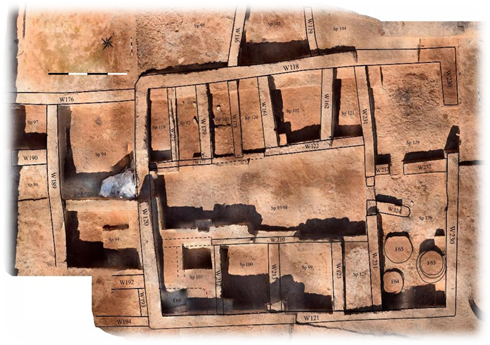
10,000 years ago one of the earliest villages on the Shahrizor Plain was built and lived in at the nearby settlement mound of Bestansur.
240128080616.png)
he formation of Ear per rone Age centres in pesopotamia is the resut of ong term processes hich can be e pained b en ironmenta economica and socia de eopments heir phsica appearance is not on a testimon of centrai ation but aso of the socia eoution relected in its impact on andscapes Large te sites surrounded b a eb of roads for inter-regiona and inter-site communication traceabe through aeria and sate ite photograph ofer a testing ground for ne methods hie the pains of northern S ria ha e itte ariation in terrain the centra Trans‐Tigris area sho s a high diferentiated terrain afected b the ridges of the agros iedmont one
Some maps and data of archaeological sites in Slemani province