The Rabana-Merquly Archaeological Project
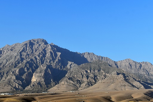
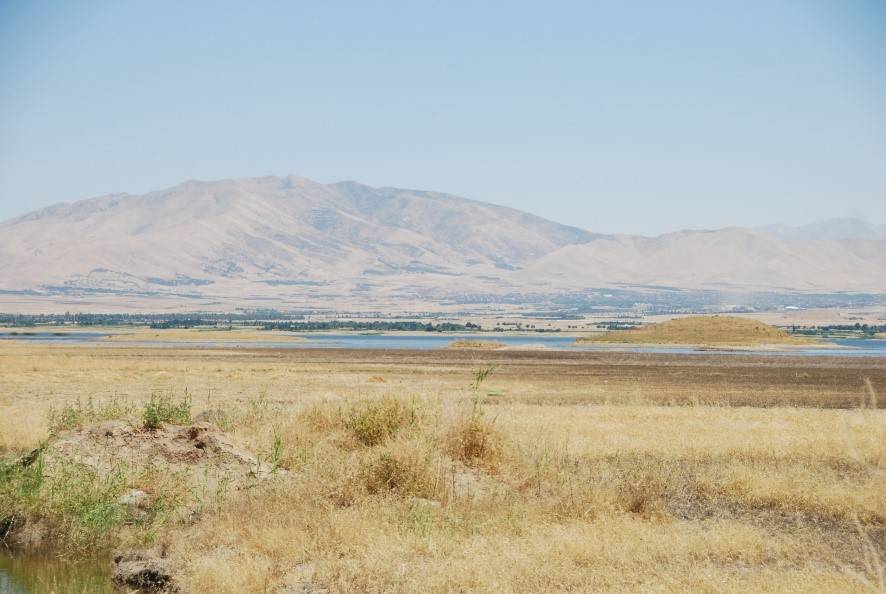
Nestled on the slopes of Mount Piramagrun in the Zagros Mountains of Iraqi Kurdistan lies Rabana-Merquly, an ancient fortified stronghold. This impressive site features perimeter defences that encircle adjoining settlements in the Rabana Valley and the Merquly Plateau. The primary occupation of the area dates back to the Parthian era, specifically from the 2nd to 1st centuries BCE. Parts of the complex were also reoccupied during Ottoman and modern times.
The perimeter fortifications of Rabana-Merquly seamlessly extend from the rugged highland terrain. Walls were strategically built to block intruders at natural gaps in the western escarpment of Mount Piramagrun, creating a nearly continuous barrier approximately 4,000 meters long. These fortifications span a significant elevation difference of about 720 meters, ranging from 1,180 to 1,900 meters above sea level.
One of the most striking features of Rabana-Merquly is the pair of matching rock-reliefs depicting an anonymous ruler, carved into the cliffs beside the entrances to both settlements. Similarities in attire between these figures and the statue of a king of Adiabene found at Hatra suggest a possible identification for both this individual (Natounissar) and the ancient city (Natounissarokerta on the Kapros). Although the precise affiliation of Rabana-Merquly is a matter of speculation, it would have fallen under the dominion of the Parthian empire, located close to the southern frontier of its vassal kingdom Adiabene.
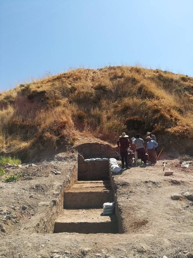
Inside Rabana the focus of occupation was in the north-east, where the wadi running through the center of the valley enters from a narrow gorge extending high up into the mountain. After heavy rain and snowmelt, this forms a temporary waterfall, the base of which was canalised with monumental stone architecture. This area gives the impression of a sanctuary complex, with the prominence of water perhaps indicating a connection to the goddess Anahita. Nearby, an altar carved into the escarpment within a sub-rectangular niche also suggests ritual activity. Maintaining an eternal flame in such a confined space would have been impractical, so it's likely that a small sacred fire was rekindled atop the altar during rituals.
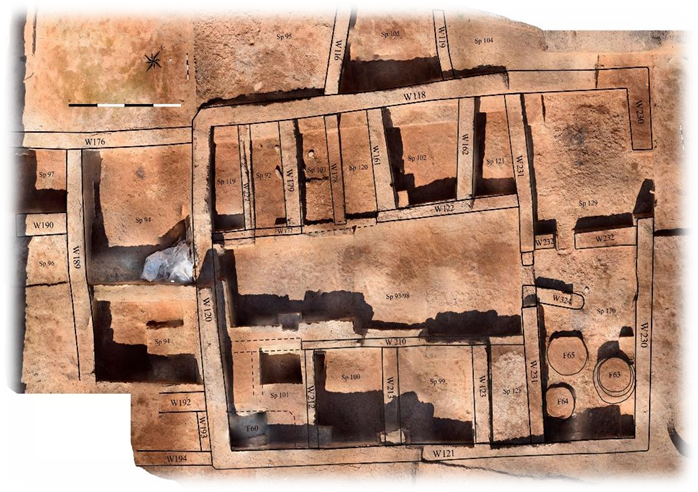
At the top of a large stone staircase descending toward the temporary waterfall stands a substantial building that served partly as a mausoleum, housing several jar burials. Given the prominent location of these graves, it is reasonable to assume that the individuals interred were of high social status. Rabana may have been the site of a dynastic cult associated with the rulers of Adiabene, who rose to prominence during the 2nd century BCE.
Ongoing fieldwork at Rabana, led by Dr. Michael Brown of Heidelberg University and funded by the Deutsche Forschungsgemeinschaft (DFG), builds upon earlier excavations at Merquly conducted in 2009 by the Slemani Antiquities Directorate. Those investigations uncovered a citadel situated on high ground, overlooking a series of standardized rectangular buildings, each divided into five equally sized rooms. Similar to Roman and Sasanian military structures, these buildings were likely used as barracks. The defensive function of the Merquly fortress probably extended to a garrison, well placed to counter threats emanating from the surrounding Zagros highlands.
For an overview of research at Rabana-Merquly, please refer to our open-access article published in the journal Antiquity.

